My virtual Caravan Site
My
virtual Caravan Site
Planning for Bailey Owners Club Rally 2018
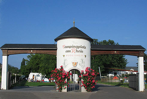
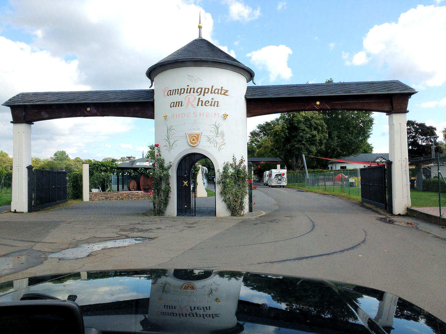
Campingplatz am Rhein, Rudesheim
Documents that have been sent out to Ralliers |
|
| Rudesheim Ralliers | |
| Information for Ralliers | |
| Events Programme | |
| General Information | |
| Cash and Credit Cards in Europe | |
|
Environmental
Badge Driving Information |
|
 |
|
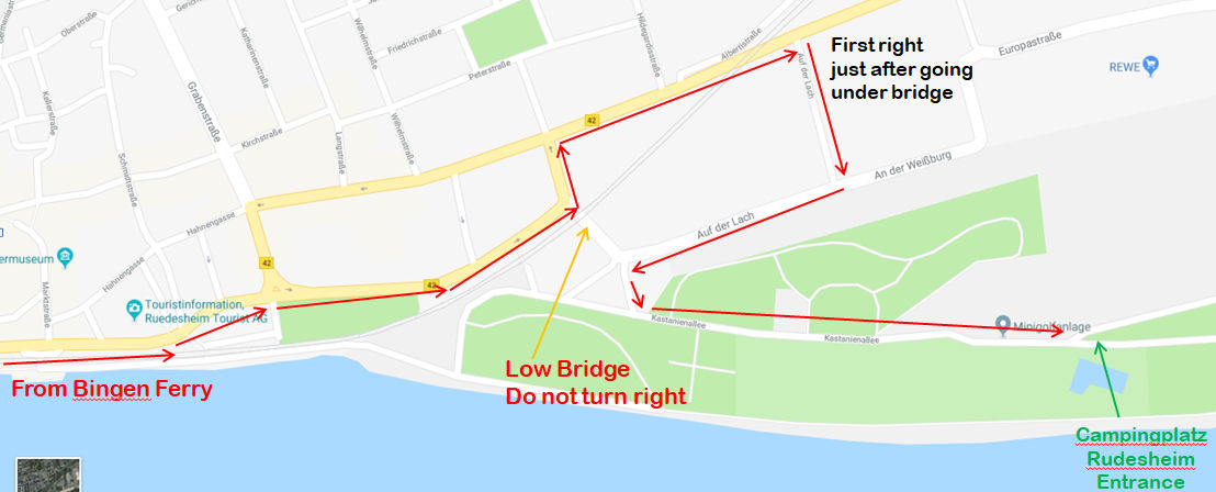
| Site local directions | |
 |
 |
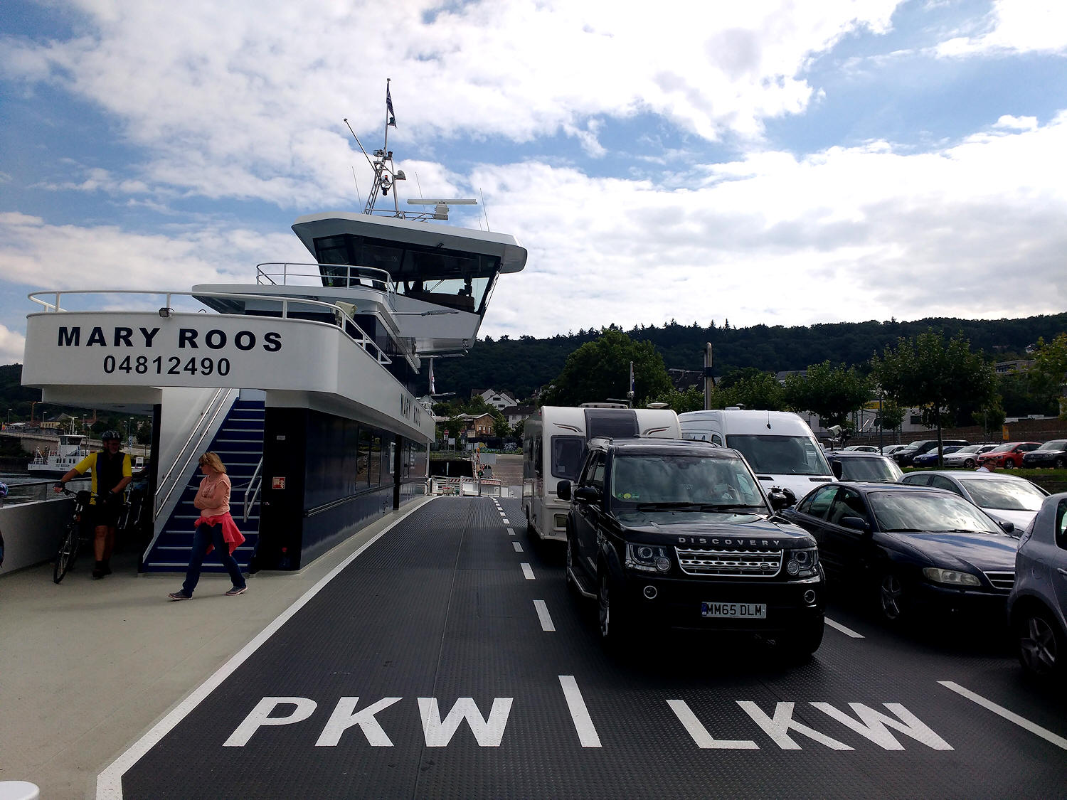 |
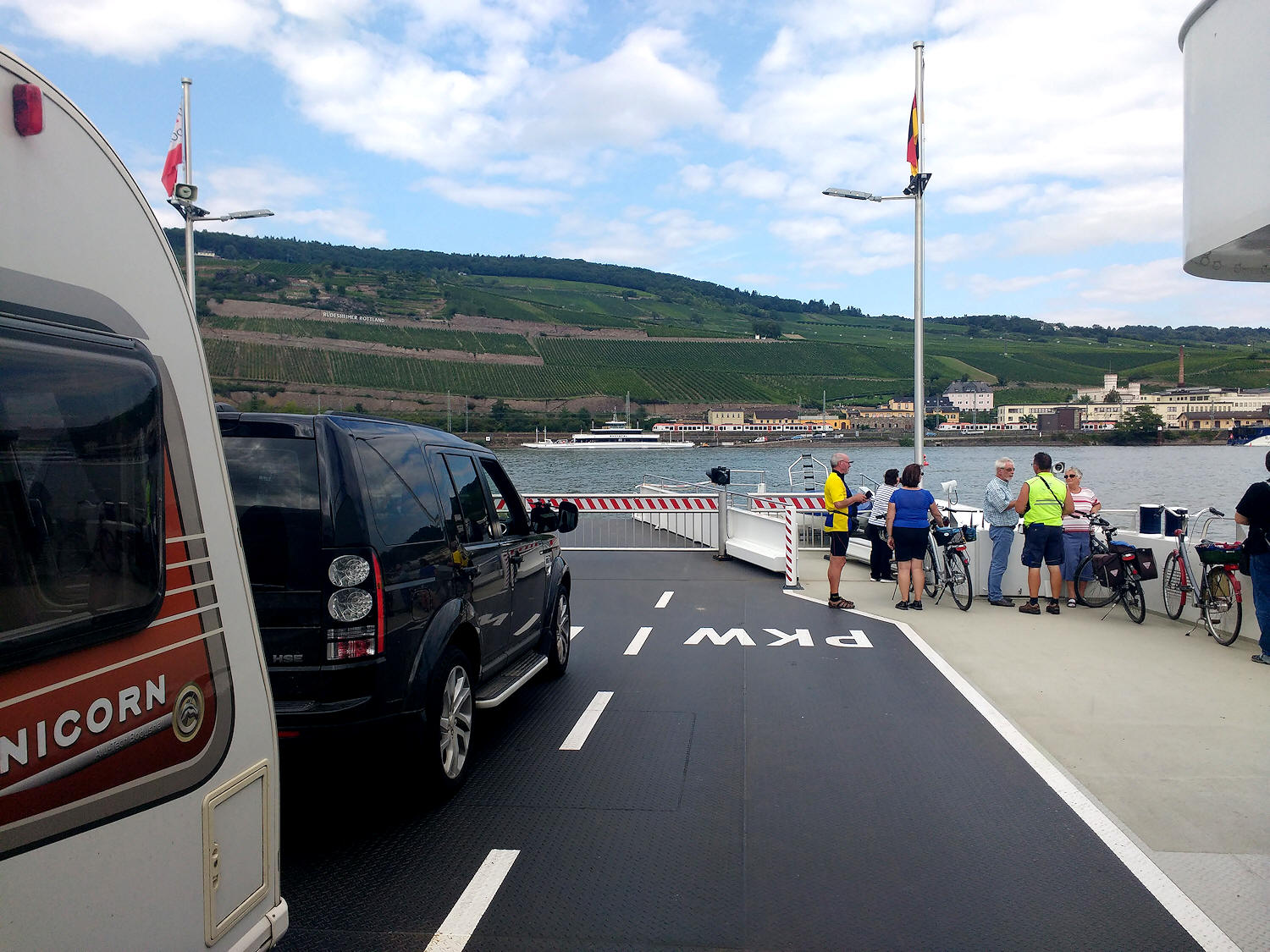
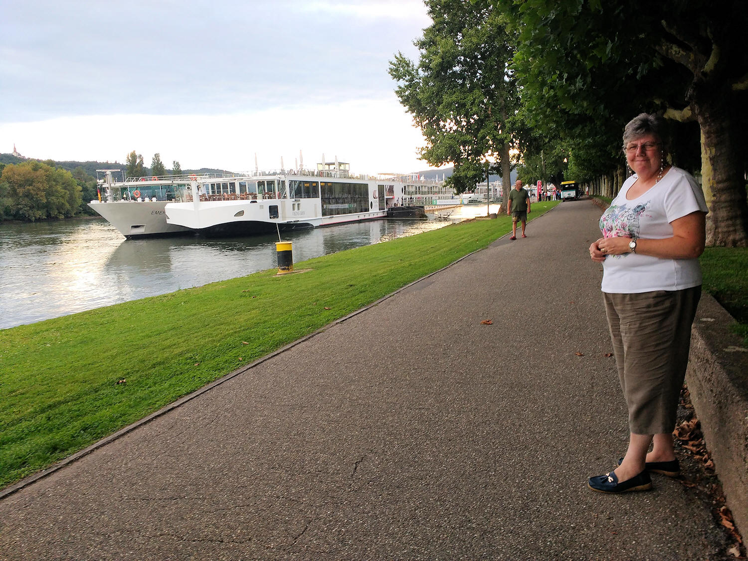
| First view of Rudesheim from the Bingen Ferry | ||
 |
 |
|
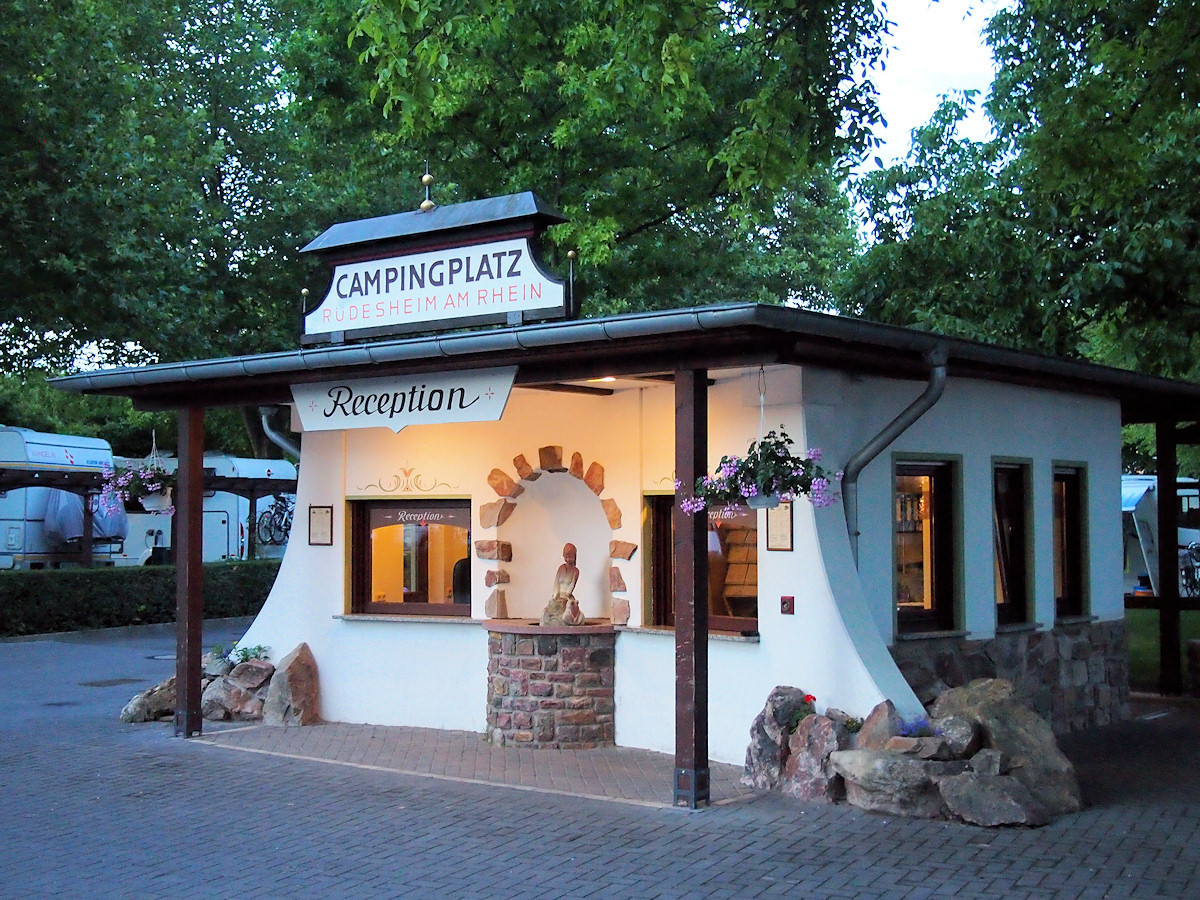
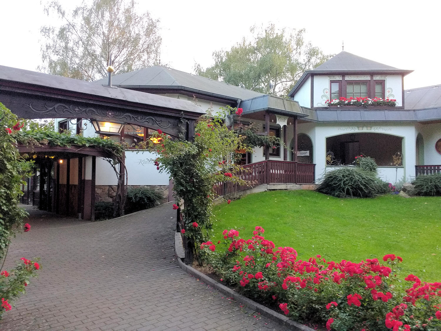
| The Site | ||
 |
 |
 |
| owner's house on the right | site Shop and Restaurant | one of the toilet blocks |
 |
 |
 |
| site exit to the Rhine | outside the site pedestrian entrance | path towards the town |
 |
 |
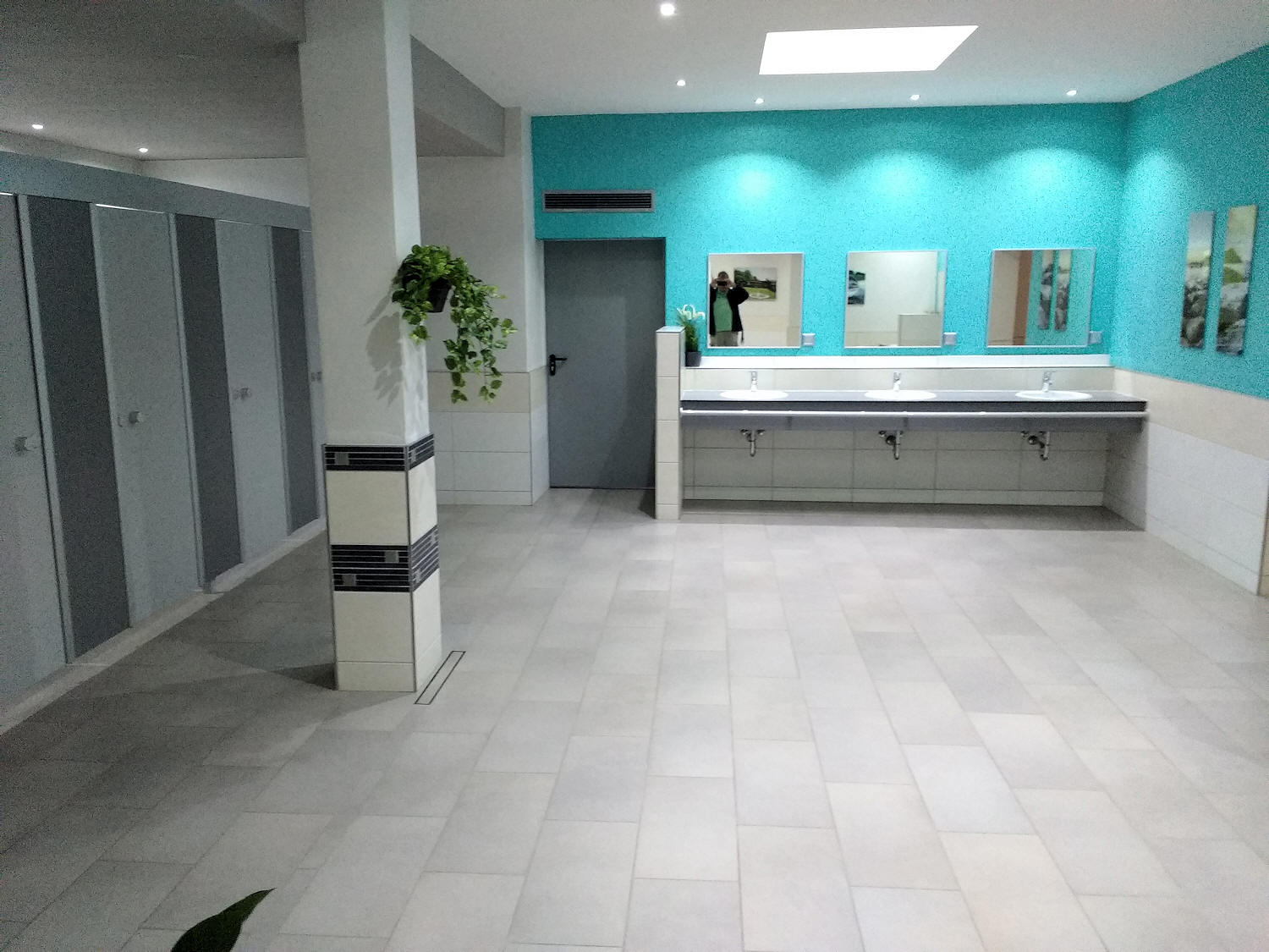 |
| New toilet block | ||
 |
 |
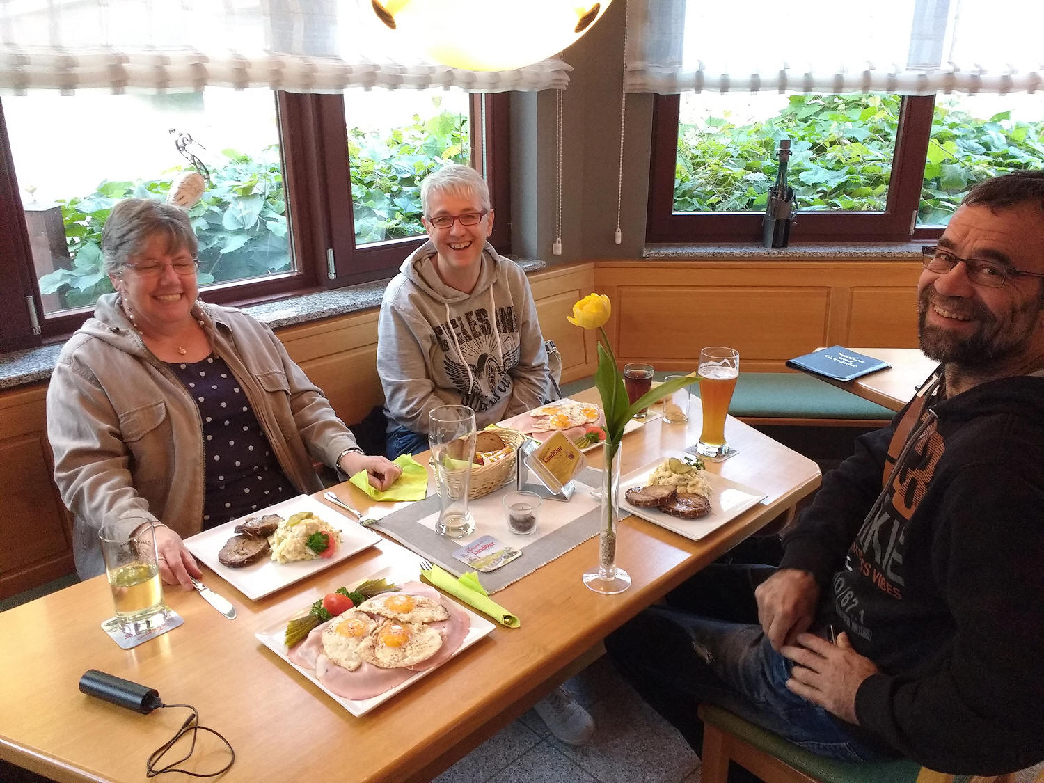 |
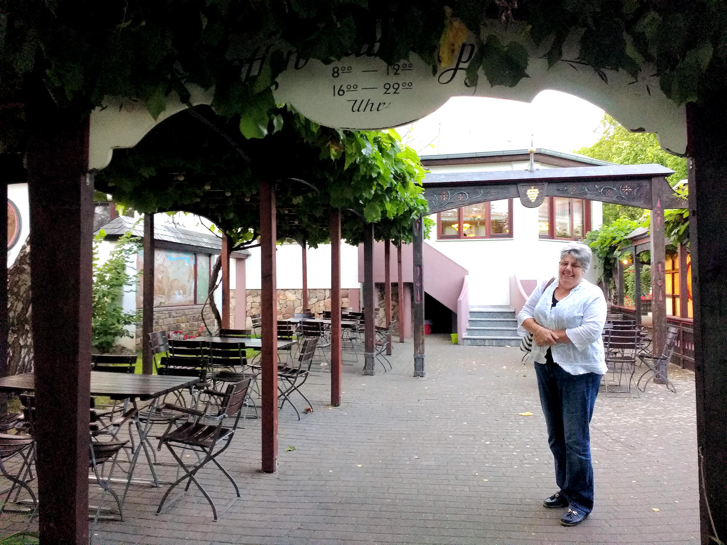
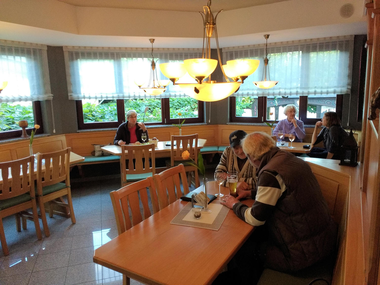
| outside seating area | site restaurant and friends! | |
 |
 |
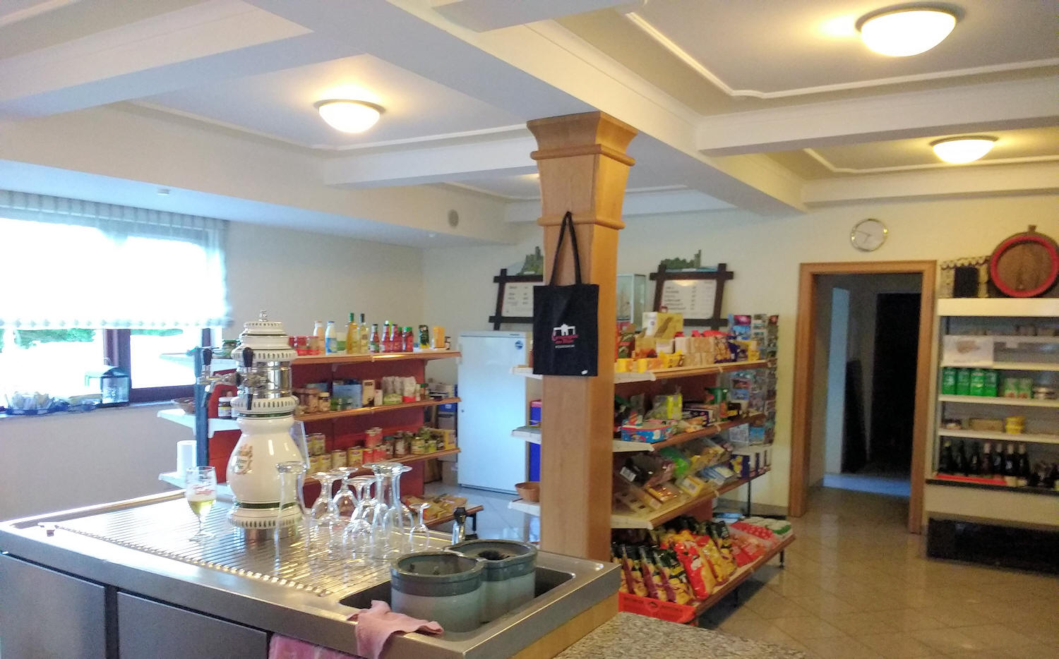 |
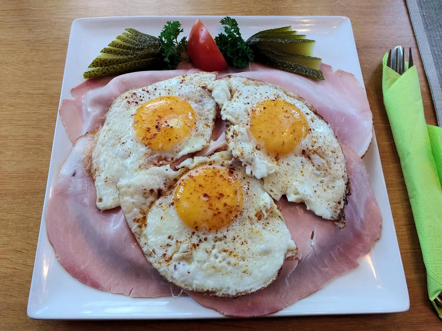
| Our favourite snack! Strammer Max | site Bar and Shop | |
Next to the Campsite is an open
air pool and sports complex which many from the site take advantage of.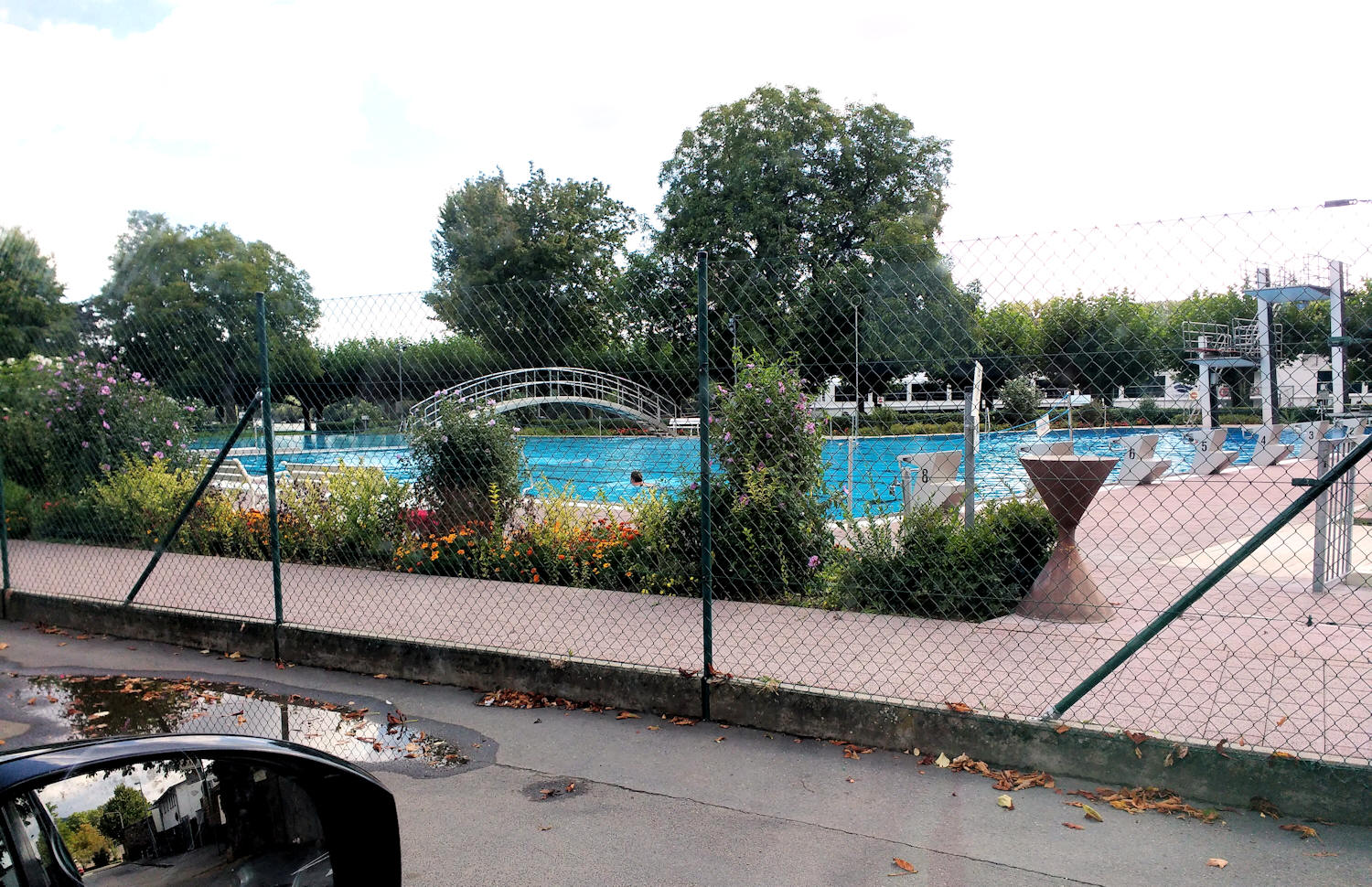
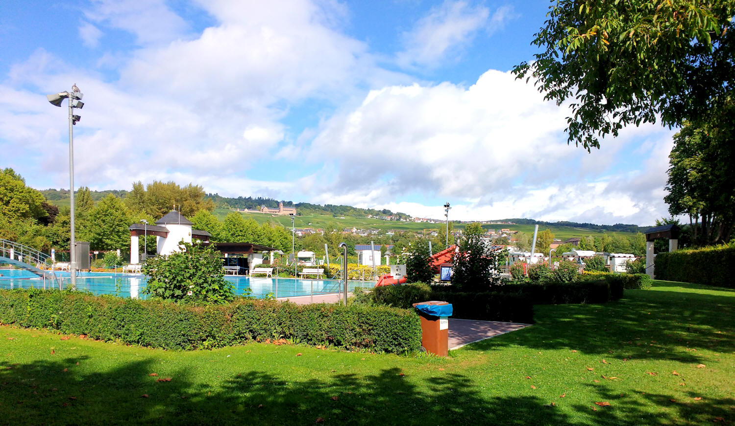 About 300 metres away is a very comprehensive shopping area with Aldi, Lidl and a couple of other supermarkets as well as a McDonalds, also a petrol station. 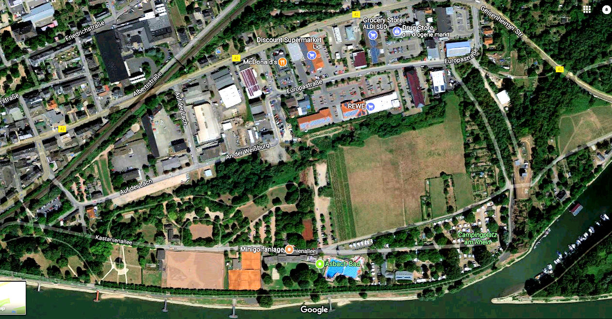 Rudesheim itself is a bit of an upmarket tourist resort which does very well from the visiting cruise ships. There is plenty to see and do and many eating and drinking establishments. The local Rhine cruise ships can be boarded from a jetty on the way into the town. Although there is plenty to do around the local area, the site itself is very quiet and peaceful and many campers can be found just sitting out and relaxing, many with a book and a glass of the local wine. |
|
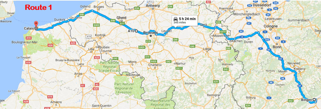
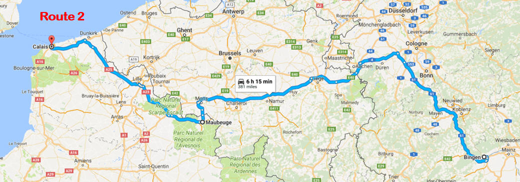
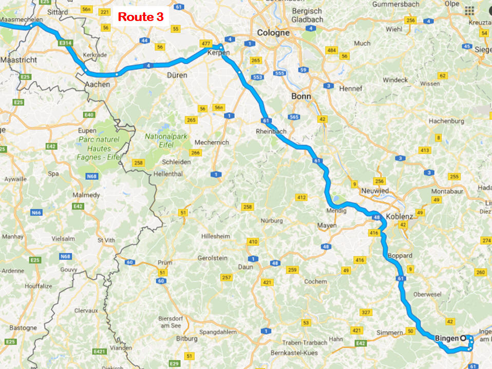
Routes from Calais or Dunkirk to Rudesheim. Route 1 is the direct route we have taken, 348 miles, 330 miles on non-toll Motorways. We take the route via Bingen which is then a short ferry ride to Rudesheim (lasting under 10 min and costing €14 this year for our long caravan), this avoids the sometimes twisty and narrow road from Koblenz on the Rudesheim side or the longer route via Mainz, see Route 3. If you wish to make a stop over on this route, then the Caravan & Motorhome Club bookable site, Den Driesch (REF : H10) at Valkenburg is only 5 miles off the route, it is 200 miles from Calais. We havn't stayed at this site but have had good reports of it. Route 2 is via Maubeuge where we stop over at the site Camping de Clair de Lune HERE booked through the Caravan & Motorhome Club, site code PO7, 117 miles from Calais. It is then 260 miles to Rudesheim. (Feb 2018 update: this site is being modernised so cannot be booked at the moment through the C&MC) |
|
 |
 |
 |
|
| Obviously there are plenty of other routes but these we have used often. We often go to Holland for a week or so before going to Germany. This can be a convenient way to break the journey and the roads are very good from Holland. | |
| Route Planning |
|
Google Maps Get the coordinates of a place On your computer, open Google Maps. Right-click the place or area on the map. Select What's here? At the bottom, you’ll see a card with the coordinates. Degrees, minutes, and seconds (DMS): 41°24'12.2"N 2°10'26.5"E Degrees and decimal minutes (DMM): 41 24.2028, 2 10.4418 Decimal degrees (DD): 41.40338, 2.17403 |
|
Via
Michelin Route finder To me one of the most useful route finder sites. The route produced includes the cost of any tolls and the route has graphics of the actual road signs at the junctions. you can register, for free, and save your various routes. This is the route we print out and follow as well as using our TomTom Sat Nav on which we enter the co-ordinates of our destination. |
|
French
Autoroutes Web Site of the French Motorway network, includes a route planner using Via Michelin |